In the news...

We love partnering with our local news channel to provide great drone services for a variety of needs. Thanks so much to The Home Page Network for this great feature! Let us know how we can help you accomplish your goals!

Read the whole article here:

https://www.thehomepagenetwork.com/behind-the-drones-of-remote-intelligence/

Expanding our horizon

As Remote Intelligence continues to serve our clients with the best aerial services using sUAS, we’re excited to announce an expansion of capabilities due to the purchase of our partner Wildlife Specialists, LLC. While we’ve worked very closely thru the years with Wildlife Specialists it has become a perfect synergy to combine the very best of environmental resource management and the best in aerial services to provide our clients with an expanded suite of services.

RI WS.png

At the core this will allow us to streamline the services of both companies into one cohesive unit and continue to serve our clients better! Both companies will continue to function under their own name with their reputation for excellence but now with the ability to present faster, better, safer data to our combined clients.

To find out more about Wildlife Specialists check out our website:

https://www.wildlife-specialists.com/

Internationally Published

We are pleased to inform you that your manuscript has been judged scientifically suitable for publication “ … These are exciting words when they apply to projects that we’ve helped to form and provide support on. Some of you may recall Remote Intelligence’s involvement in the ongoing studies to help control the spread of deadly diseases in more impoverished settings, here is the published article on using sUAS based technology to help identify wild dogs in Guatemala.

Research Project with Juniata College

This year has allowed us the opportunity to further develop one of our main passions, EDUCATION. This semester we’ve partnered with Juniata College in central Pennsylvania to work on several projects with some of their engineering and physics students.

The two primary areas of focus are on Whitetail Deer Thermal Surveys and Methane Detection.

DJI M210 with the XT2 Payload

DJI M210 with the XT2 Payload

The Deer Thermal team is working to develop algorithms that count deer and categorize percentage of certainty of identity from thermal imaging. Learning to quantify real world data and work thru the challenges of data collection has been a great learning opportunity. At the end of the project the goal will be to take thermal video and still photos to produce an ortho-mosaic with categorized thermal signatures and help refine the scientific defendability of such surveys.

Thermal image sample

Thermal image sample

While one team scans loads of imagery, the second group is working to develop standards in the field of Methane Gas detection for pipeline integrity projects. They’ve been working with data sets that are cutting edge for the industry.

Gas leak detection

Gas leak detection

2D Visual map of Methane Levels

2D Visual map of Methane Levels

3D Model of Methane Levels

3D Model of Methane Levels

Methane detection outputs are mapped both in a 2d visual and a 3D model. The students are working to integrate the 3D map into a virtual 3D environment created from digital models of the base layers. This will help users to see the plumes and flow in the real “virtual” world.

DJI M210 with Sniffer4D Methane Detector

DJI M210 with Sniffer4D Methane Detector

We are so excited for both of these projects and for the exceptional students working on them. Unfortunately, Covid-19 has shut down their classroom learning but their spirits are high and they continue to work on solutions while they’re all at home. We’ll keep you posted on this exciting project.

If either of these services are interesting to you or your company let us know. We’re actively doing both projects for our current clients and refining the process all the time with projects like this one.

Thermal Deer Surveys

Thermal Deer survey's are a great tool for wildlife management. Here's an example of a single frame from both a standard RGB camera and the Flir Infrared Camera side by side. Both are capturing the same piece of forest but the thermal clearly stands out for getting a real count of animals on the ground.

Let us know if we can help you in managing your properties natural resources. Certified Wildlife Biologist on staff.

Deer Survey Thermal.jpg

Thermal Leak Detection on Water Transfer Lines

Efficient transfer of Water is huge in the Energy Industry. This video demonstrates the effectiveness in detecting water leaks on transfer lines using thermal imaging mounted on a small unmanned aerial system. Drones make easy work of covering vast amounts of territory with relative ease.

Efficient transfer of Water is huge in the Energy Industry. This video demonstrates the effectiveness in detecting water leaks on transfer lines using thermal imaging mounted on a small unmanned aerial system. Drones make easy work of covering vast amounts of territory with relative ease.

STEM Education in Guatemala

STEM Education in Guatemala

“I have been training youth and adults around the world to use drones for science and business. Safe Passage is a great opportunity to contribute to STEM and demonstrate how quickly and effectively low-cost off-the-shelf drone systems can be integrated as solutions.” Said Mr. Benner. 

Emergency Response

When tragedy strikes it's important to have eyes on the situation immediately. We've been working hard to make sure local responders have as much information as possible to respond to the worst situations. Here's a short video from the recent snap thaw here in north central Pennsylvania. 

It's amazing to see the power of water in all it's forms liquid, solid and gas. 

Landfill Maintenance and Monitoring

In addition to mapping and managing eco-systems, Remote Intelligence also can provide much needed data for managing large scale ongoing projects like solid waste management facilities. This week we began the process of monitoring this site. In addition to helping our client keep track of the property, they also receive volumetric data to track the rate of fill and predict lifespan of the project. 

Here are some examples of an ortho-mosaic and color elevation map created using our drones. From the 3D point cloud model we're able to determine volumetric measurements for the capacity of the landfill. 

SEDSG 2016

Our own Rob Schwarz is in attendance at the 39th Annual Meeting of the Southeast Deer Study Group held in Charlotte, North Carolina. We're presenting some research and developments on the use of thermal imaging via Unmanned Aerial Systems. Be sure to look for our poster and check in with Rob if you're there. 

Screen Shot 2016-02-16 at 10.04.35 AM.png

We're excited to share our findings with those who work hard to protect and manage wildlife populations. With our Wildlife Biologists, Land Management Specialists and GIS Specialists on staff we help our clients find the best ways to make sure that human, land and wildlife assets are managed well. 

If you're interested in learning more about thermal technology click here


Thermal Imaging Services

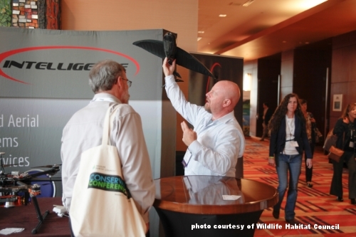
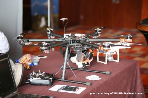
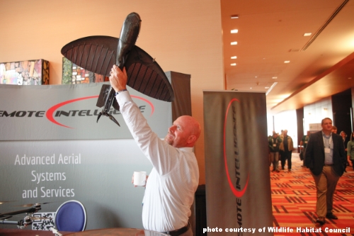
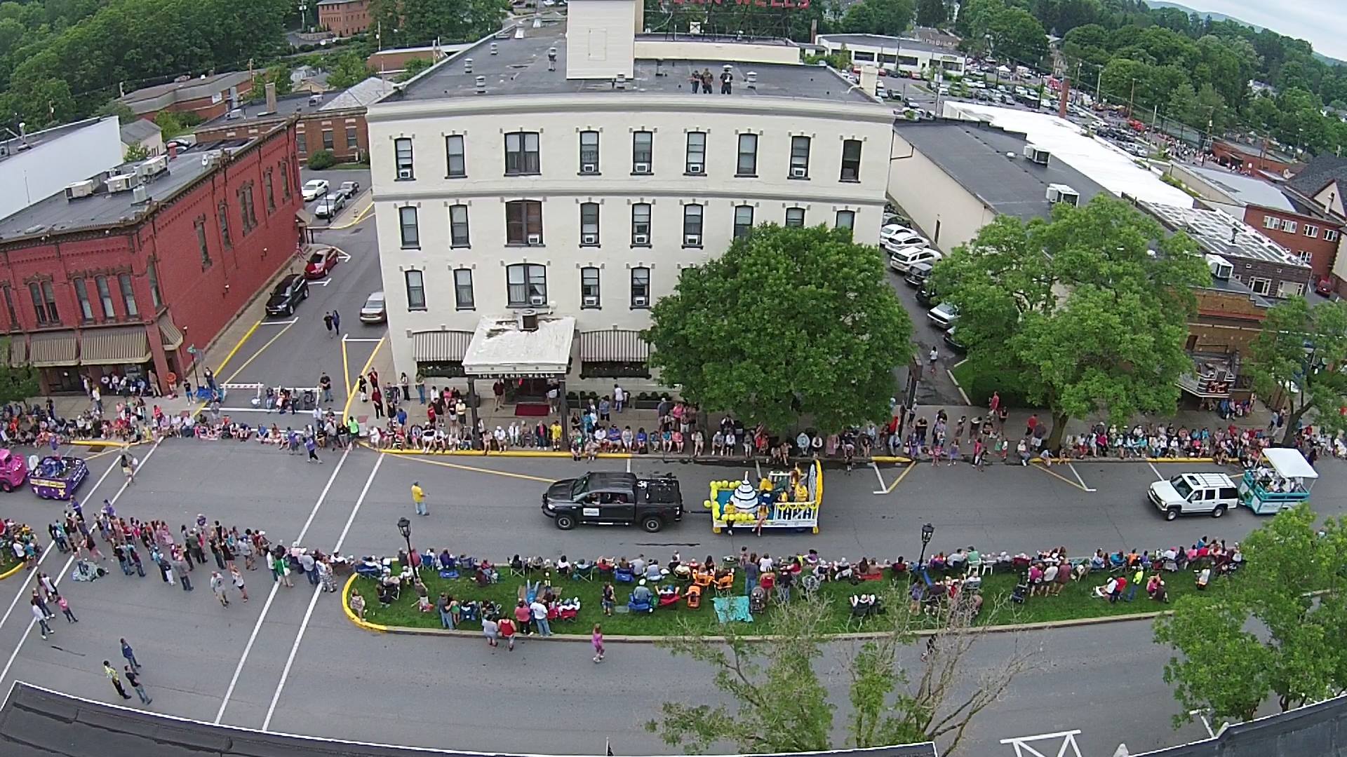
The best thing about winter?.... It's thermal imaging season! With our certified wildlife biologist, land planners and GIS specialists in house we can help accomplish many of the projects that benefit most from thermal imaging. 

We continue to get great results back as we assist clients in better understanding the environment they manage. From deer density studies necessary for deer management, to building heat loss and stray voltage identification, and even pond/lake, sewer/septic leakage discovery we have both the experience and tools to help. 

With a great first half of winter under our belts we're also running a limited time promotion for this great tech. Make sure you contact us soon if you're interested, availability is limited. 

Merry Christmas from Remote Intelligence

To all of our clients, supporters and partners, thank you for being a part of this very important year for us at Remote Intelligence. In 2016, we will continue to take to the skies to offer up the best UAS services and expertise. The experience gained in 2015 along with the blessing of the FAA’s exemption leaves us confident that 2016 will be even better. It's going to be a great year and we look forward to working with you.  

Ours is the commencement of a flying age, and I am happy to have popped into existence at a period so interesting.
— Amelia Earhart

From all of us at the Remote Intelligence, best wishes on a very Merry Christmasand prosperous New Year. 

A Busy Fall 2015

The fall has kept us at Remote Intelligence very busy! While continuing to serve our growing list of very satisfied clients we’ve also had the opportunity to present at or attend several major conferences. Here are a few of our highlights! 

Ohio GIS conference

    Columbus, Ohio

    September 21-23

    http://ogrip.oit.ohio.gov/Events/OhioGISConference.aspx


NW PA GIS Conference

    Clarion, Pennsylvania

    October 15

    http://events.clarion.edu/event/10th-annual-northwest-pennsylvania-gis-conference/


American Society of Landscape Architects National Convention

    Chicago, Illinois

    November 6-9

    http://www.asla.org/


Wildlife Habitat Council's National Conservation Conference

    Baltimore, Maryland

    November 11-12

    www.wildlifehc.org/


RTI

    North Carolina

    November 16

    Workshop for Unmanned Aircraft and Remote Sensing 

    for Academic and Applied Research


Lancaster County GIS Day

    Litiz, Pennsylvania

    November 20

    http://co.lancaster.pa.us/206/GIS-Day

    Keynote Speaker


Webinars: 

    Penn State Extension Oil and Gas Webinar


    GIS for Strategic Asset Management Webinar

    http://gisticinc.com/gis-for-strategic-asset-management-gsam-webinar/


Articles: 

    ESRI-MUG

    Summer 2015 Newsletter


    UAS Workgroup (Marcellus Shale Coalition)

    Fall 2015 Newsletter


TV: 

    WETM TV News Interview

    The FAA’s requirement for registration of Drones in the US

    October 20

    Click here to watch

Brookfield Maple Products

Being based in rural Pennsylvania allows RI to work with many businesses that work in ecology based services and products. In June we had the pleasure of helping Brookfield Maple Products gain a better understanding of precisely how the contours of their 320 hundred acre maple "sugar bush" forest lays out. They now have a detailed ortho-mosaic (photo) and topographic contours (at 5 foot intervals) of their property.